


Precise Zipline Site Surveying and Geological Feasibility
Accurate zipline site surveying is the single most critical step before installing any hardware. Without exact topographical data and soil analysis, operators risk catastrophic structural failures and significant financial loss. Professional geological mapping ensures your attraction operates safely and efficiently from day one.
Key Takeaways for Developers
Subsurface Integrity and Foundation Engineering
Beautiful topography means nothing if the earth cannot support massive industrial tension. Deep subsurface evaluations dictate the size, depth, and cost of structural footings, making zipline design engineering a mandatory requirement for any installation.
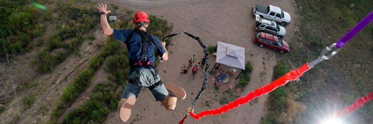
Engineering the Perfect Rider Journey
The physical geometry derived from your land survey directly controls how fast and how far your guests fly. Precise calculations separate a thrilling attraction from a dangerous liability.
Frequently Asked Questions
Related Adventure Solutions